OpenStreetMap
Happy 18th birthday to my first GPS trace in OpenStreetMap
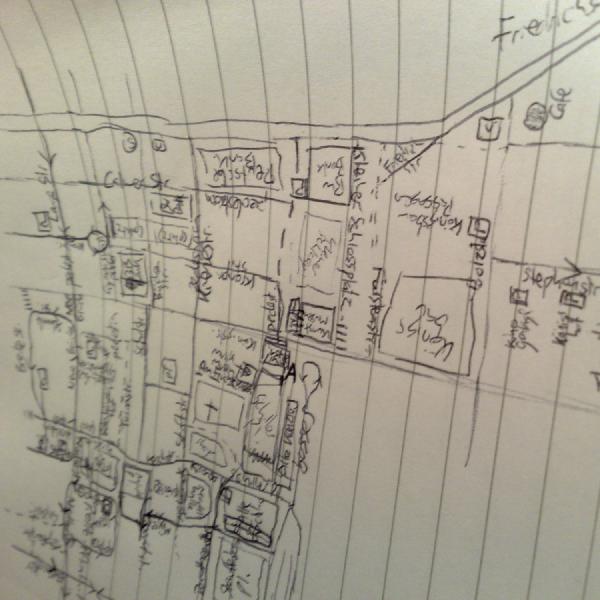
Today marks 18 years since I shared my first GPS trace with the OpenStreetMap project, having signed up and made my first edits a few months earlier. It’s a track of one of my wanders around Stuttgart West when I was living there. I wrote a little blog post about it at the time.
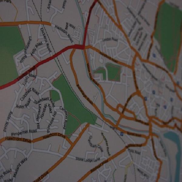
The map of Stuttgart has come on leaps and bounds since then.
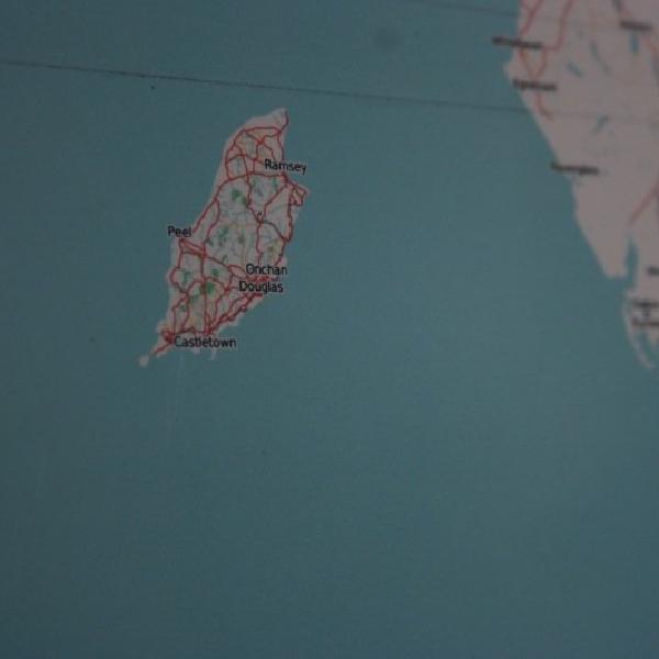
I find it pretty hard to believe 18 years have passed already, but over those years OpenStreetMap has given me plenty of reasons to go out and explore my local area and areas further afield on foot, by car, by train, and most recently by bike. It’s also encouraged me to do far too much armchair mapping, often of the Isle of Man (map).
Thanks to improvements in the availability of high quality aerial imagery, most of my OpenStreetMap editing now doesn’t require me to go out and make fresh GPS traces. Occasionally the GPS traces from my Apple Watch activities do still come in handy for new routes or those obscured on aerial imagery, but it’s pretty rare.
The GPS positions of images I upload to Mapillary definitely do come in handy though, and those photos help with recording lots of information while I’m out on my bike without having to stop and take notes.
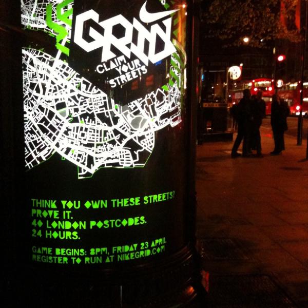
Mapping Pedestrian Infrastructure: London
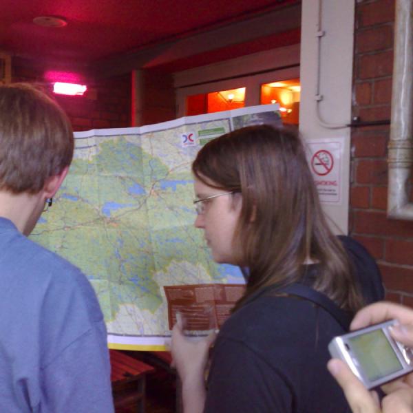
It was great to attend the first Mapping Pedestrian Infrastructure: London Mapathon hosted by Meta last week.
Meta is working to improve the mapping of pavements and other pedestrian infrastructure in city centres to help give their users a better sense of place when using their products. They’re using the global OpenStreetMap open data project as the basis for these improvements, so they’re available to all users of the project, not just Facebook users.
They have been working to automate some quality assurance processes and use AI and machine learning to automatically create map data from various sources, from aerial imagery to Mapillary street-side imagery, but they still need the help of the open mapping community. They’re looking to bring together people from the OpenStreetMap community, academia and organisations working to improve the built environment for pedestrians.
If you’re interested in joining in with mapping London’s pedestrian infrastructure, you can get in touch with Said Turksever on Twitter or LinkedIn. If you’re already comfortable mapping in OpenStreetMap you can jump straight in to the Tasking Manager and start mapping.